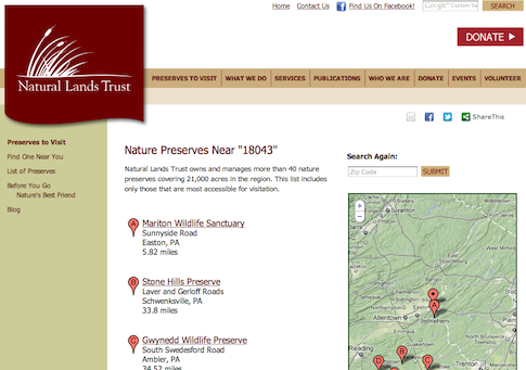
Natural Lands Trust, a collection of conservation areas in Pennsylvania and New Jersey, hired me to customize their Geo Mashup implementation with a Google-like lettered marker display of geo search results, and some improved handling of the KML-based boundary maps for individual preserves like the Glades Wildlife Refuge.
I think it really brings the reality of these preserves home to see where they are, down to their boundaries and trails (though I didn’t work on the trail maps), and I hope it helps promote awareness and support of Natural Lands Trust. I love to imagine a map of preserves like these dotting the whole globe…
